The e-shape (EuroGEO Showcases: Applications Powered by Europe) project is a unique initiative that brings together decades of public investment in Earth Observation and in cloud capabilities into services for decision-makers, citizens, industry and researchers.
EuroGEO, as Europe’s contribution to the Global Earth Observation System of Systems (GEOSS), aims to bring together Earth Observation resources in Europe. Twenty-seven cloud-based pilot applications under 7 thematic areas address societal challenges, foster entrepreneurship and support sustainable development, in alignment to the three main priorities of the Group on Earth Observation or GEO, (SDGs, Paris Agreement and Sendaï Framework).
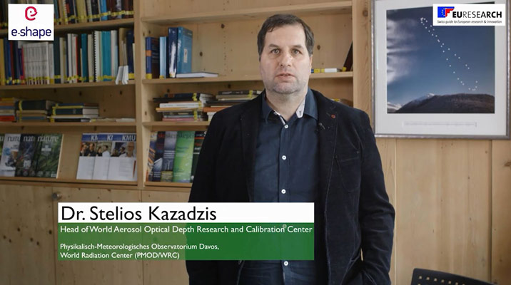
PMOD/WRC leads the nextSENSE pilot project which is described in an introductory e-shape video.
Video introduction to the e-shape project. Please click here to watch.
NextSENSE – The Solar Energy Nowcasting and Short-Term Forecasting System
The consequences of rapidly rising global temperatures will be far-reaching and devastating for humans and the environment unless urgent action is taken globally to curb emissions. Toward this goal, the United Nations and the European Commission have set as its main sustainable development goals by 2030 to contribute to climate actions and ensure good health and well-being by providing universal access to affordable, reliable and modern energy services. EC Renewable Energy Directive establishes an overall policy for the production and promotion of energy from renewable sources in the European Union. As a result, renewables currently account for more than 22% of total global electricity generation, of which more than 400 GW produced from solar systems in 2017.
This brings to the fore the simultaneous vital need for improved Earth Observation solutions for the continuous monitor of solar energy potential and fulfil the increasing integration of solar farms into the electricity grids, the load exchanges, as well as the efficient electricity transmission and distribution. Therefore, through joint solar energy implementation funded projects, the EC’s renewable energy policy aims to set up a low carbon environment with relevant services and support by existing and new Earth Observation techniques dealing with accurate, nowcast, short-term (STF) and long-term forecast estimations of solar energy.
Objectives
- To use, improve and incubate EU-funded (Geo-Cradle) and other (CAMS) available innovation instruments, relative to nextSENSE products.
- To upscale existing techniques in larger domains and serve a large variety of users (decision makers, citizens, national bodies). Use Geo-Cradle’s networking platform, regional datahub, end user needs and solar energy related information in order to develop a tool able to be tailored to the needs of any domain and solar energy (nowcasting and STF) related product needed.
- To demonstrate and deploy further the nowcasting and STF solar energy products (e.g. Egypt, Cyprus, Greece).
- To use existing CAMS related products (HelioClim-3v5, McClear) for STF at specific regions.
- To engage relative stakeholders (as defined from the geo-Cradle project): end-users but also uptake commercialization and internationalization related service industry.
- To showcase through GEOSS related and developed tools and the renewable energy related benefits, towards a sustainable Energy development (SDG7 target for 2030 energy mix).
- To contribute towards GEO vision for co-ordinated Earth Observation information to citizens, businesses and science.

